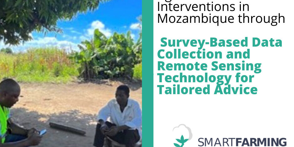
Enhancing Agricultural Interventions in Mozambique through Survey-Based Data Collection and Remote Sensing Technology for Tailored Advice
Are you curious about the latest innovative approaches in data and agriculture? Look no further than the findings of our talented, Alessandra Cossu! Based on her extensive fieldwork in Mozambique, Alessandra has dived deeper in a powerful combination of survey-based data collection and remote sensing technology that can support the way we map farms and tailor interventions to specific groups of farmers. In this article, we’ll dive into the details of her research and explore how it can contribute to agricultural development and food security alleviation in Mozambique.
Mozambique is a country of diverse landscapes, food systems and limited infrastructure. This heterogeneity makes it difficult to collect data on farming practices and detect trends. However, survey-based data collection combined with remote sensing can provide a powerful tool for mapping farms and identifying trends, patterns, and correlations between different variables.
Survey-based data collection allows for the gathering of information on farming practices, yields, soil types, and other variables. The survey can be done in person that allows for effective interactions and additional information gathering through observation or probing questions. The survey can also be conducted remotely and electronically, reducing the need for physical infrastructure. Additionally, the collected data can be used to create feedback loops, allowing farmers to provide feedback on their own practices and the effectiveness of interventions. These can help researchers and policymakers understand the needs of farmers and develop targeted interventions to improve outcomes.
